Friends of Badger Mountain, in partnership with the local chapter of the Native Plant Society, Ice Age Floods Institute, and Benton County, established the Interpretive Loop Trail in the saddle of Candy Mountain. The loop is 1.2 miles long (round trip) starting from the parking lot and has very little elevation gain.
Trail Features
Thirty (30) native plant signs highlighting the Eastern Washington Sagebrush habitat and links below to the University of Washington, Burke Museum website provide lots more information and photos.
Preservation of our local sagebrush habitat is so important since 80% of the sagebrush ecosystem in Washington state has been lost to farming and development. The sagebrush habitat is home to more than 200 species of birds and at least 30 species of mammals as well as desert reptiles. Between Badger, Little Badger and Candy Mountains FOBM has preserved almost 1,000 acres of sagebrush habit.
The CH2M sponsorship of the Candy Mountain Preserve included design and construction of monuments to honor and commemorate the generations of Hanford workers that have helped make the Tri‐Cities the vital and thriving community it is today.
During the last ice age, the Tri-Cities experience some of the largest fresh water floods known to have happened anywhere on the plant. This is an incredible part of the geological history that shaped our area. Come and learn more on a gentle walk around the 1.2 mile Candy Mountain Interpretive loop.
Mickie Chamness, Karl Fecht and other have created a geological map of Candy Mountain that is now on display in the Candy Mountain Preserve parking lot kiosk. A new basalt geology interpretive sign has been added to the Interpretive Loop Trail to tells the story of the basalt rocks in the saddle of Candy Mountain. The sign was installed by FOBM Volunteers David Comstock and Jim Langdon on Saturday 8/15/20. The new sign shows the extent of the largest overland lava flows know to have happened anywhere on Earth, known as The Columbia River Basalt Group. Did you know that our native rock is reddish-brown basalt and that basalt rock is over 1 mile thick in our area from multiple over land lava flows?
The basalt outcrops visible in the saddle of Candy Mountain flowed over thirty miles from ancient fissures in the earth’s crust near the modern-day location of the Ice Harbor Dam on the Snake River. The over land lava flows were able to travel great distances due to the enormous volume of these eruptions and the cooling crust of these lava flows that insulated the very fluid molten core beneath. The Pomona flow traveled from fissures in west-central Idaho to the Pacific Ocean (over 350 miles), making it the longest known lava flow on Earth.
Geological Features of the Candy Mountain Preserve
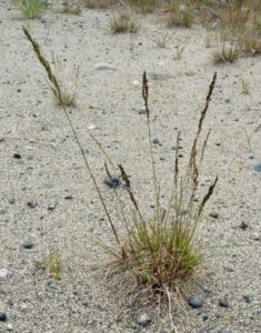
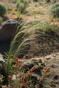
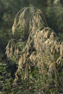
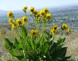
Native Plants of the Candy Mountain Preserve
The metal native plant signs were a wonderful collaborative effort. The metal signs were made by Columbia Basin College students in their metal welding class. The text and photos were provided by local chapter members of the Native Plant Society. Benton County Commissioner’s office staff did the final layout and formatting. Benton County paid for all the materials and label printing. Friends of Badger Mountain provided project management throughout the process. FOBM volunteers also primed and painted the metal signs, adhered the plant labels and installed the metal plant signs around the interpretive loop.
See the plant signs along the Interpretive Loop: (For more information on each native plant click on the Common Name below THEN click MORE INFORMATION to access the University of Washington Burke Museum website for a detail description of that specific native plant with distribution maps, lots of photos and more)
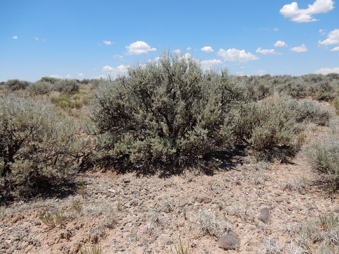
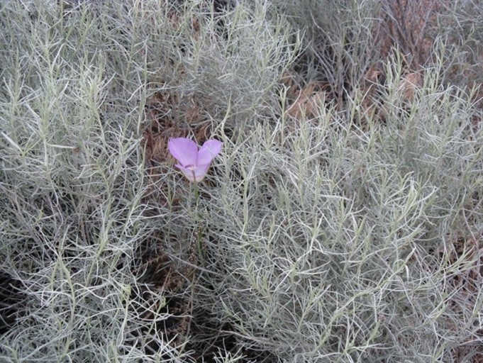
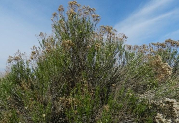
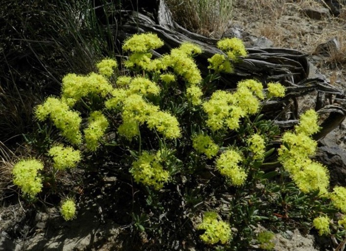
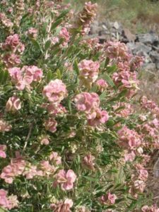
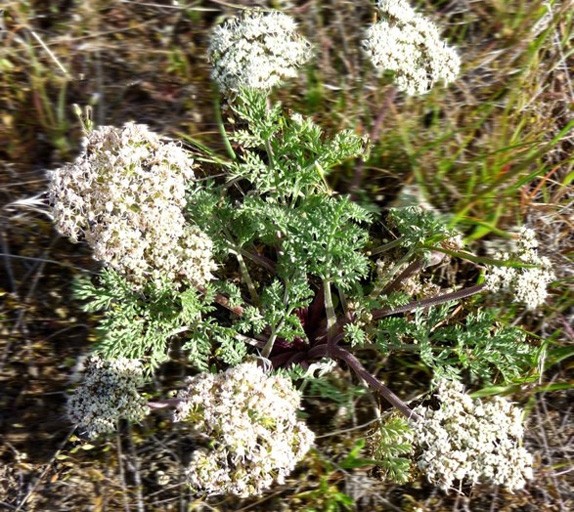
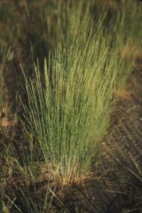
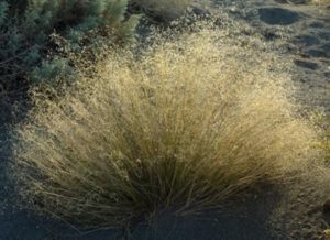
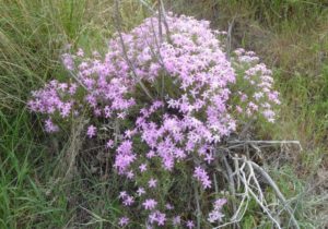
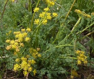
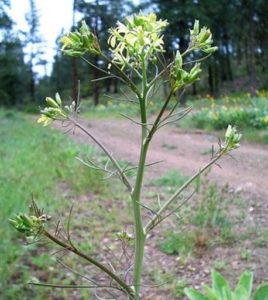
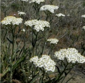
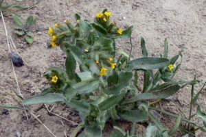
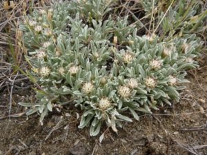
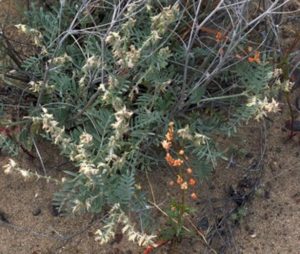
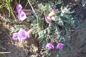
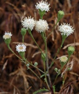
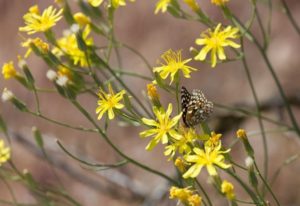
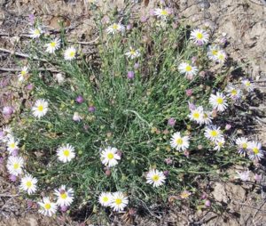
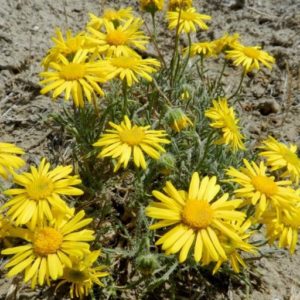
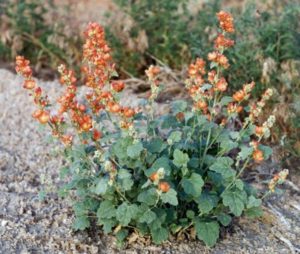
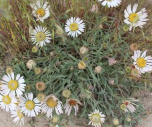
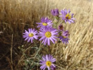
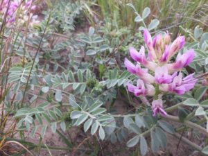
Wyoming Big Sagebrush | Gray Rabbitbrush | Green Rabbitbrush | Rock Buckwheat | Spiny Hospage | Bigseed Biscuitroot | Bluebunch Wheatgrass | Indian Ricegrass | Sandberg’s Bluegrass | Needle & Thread Grass | Cheatgrass | Carey’s Balsamroot | Long-Leaf Phlox | Turpentine Spring Parsley | Jim Hill’s Tumblemustard | Yarrow | Fiddleneck | Low Pussytoes | Low Buckwheat Milkvetch | Woolly-Pod Milkvetch | Dusty Maiden | Slender Hawksbeard | Threadleaf Fleabane | Piper’s Daisy | Munro’s Globemallow | Showy Townsend-Daisy | Hoary Aster | Crouching Milkvetch | Basalt Rock
Basalt Rock
The reddish-brown rock that we see all around us here in the Columbia Basin is a volcanic rock called basalt. It erupted from giant fissures in the Earth’s surface in a series of events between 6 and 17 million years ago, covering thousands of square miles of Idaho, Oregon, and Washington to a depth of over 2 miles in some places. Collectively, these volcanic flood episodes and the rock they created are called the “Columbia River Basalt Group.”
Learn More
To learn more about the Ice Age Floods, as well as other parks you can visit, check out the Ice Age Floods section of the National Park Service website
