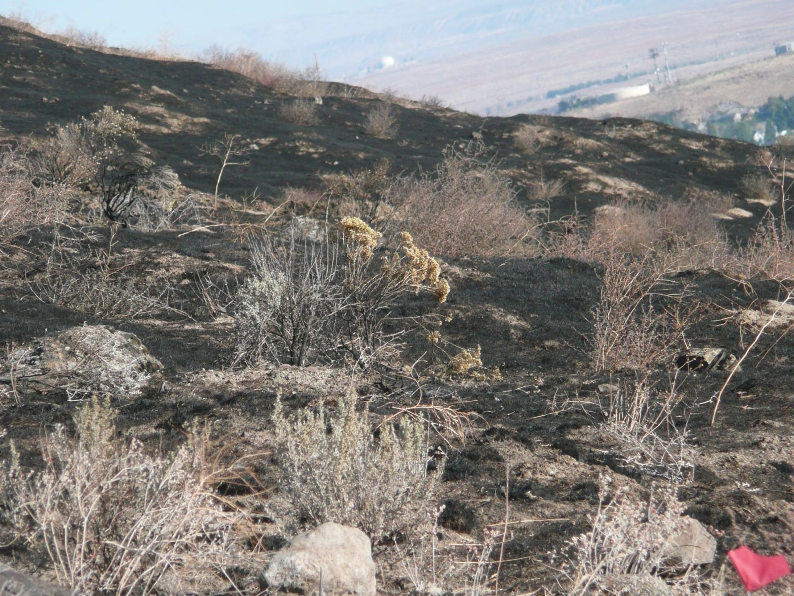
Candy Mountain features sweeping views of the area from the White Bluffs along the Columbia River, to the Horse Heaven Hills, and from the top, 360-degree views with Mt Adams, Rainier, and Stuart visible on clear days. It is in open shrub-steppe terrain moving from sagebrush to open grasslands. There’s two official trails on the mountain at present, open to individuals, mountain bikes, and horses.
Candy Mountain Interpretive Loop
Friends of Badger Mountain, in partnership with the local chapter of the Native Plant Society, Ice Age Floods Institute, and Benton County, have established an Interpretive Loop Trail in the saddle. The loop trail is 1.2 miles long (round trip) starting from the parking lot and has very little elevation gain. The trail features signage pointing out native plants, Ice Age Floods, Geological History, and Hanford Site History.
Check out the Interpretive Loop Trail link below for more.
Volunteer for Trailwork
If you’re interested in volunteering for future trailwork, contact Jim by email at Trailmaster@friendsofbadger.org and let him know. Mention “add me to your trail work list” so you’ll always know when the next work party is coming up.
Trail Map
Use the interactive map below to check out the trails spanning Badger Mountain. You can view detailed data and descriptions by clicking the trail on the map, or in the sidebar, and pressing the “Complete Details at Hiking Project” button. We also have detailed trail descriptions further down the page.
Want trail descriptions, interactive maps, and more on your phone for your hike? Get the Hiking Project app from the App Store (iPhone) or Google Play (Android device) and search for Badger Mountain Centennial Preserve under Locations.
Trail Descriptions
Features: Birding — Views — Wildflowers
Dogs: Leashed
Open to: Individuals, Mountain Bikes, Horses
The trail starts out easy, gaining only 60 feet in the first half mile. It leaves the parking lot on a converted road, crosses a private road twice, and then skirts it again before entering into the preserve proper. Here it wanders past some boulders as it crosses and then follows the ridge top with views to the north. At a half mile the trail transitions to a steady 10% grade to the summit. Just after the first access road crossing is a boulder that marks the maximum elevation of Lake Lewis, the temporary lake created during the Ice Age Flood, see iafi.org for more information. The rest of the boulders along the trail were removed during construction.
The trail ends at the summit. The five acres of the summit is private land the owners are kindly letting the public use. Please do not disturb their antenna facility. You need to reverse your course to return to the parking lot.
The trail is wide and surfaced with gravel. Please stay on the trail and do not cut the curves. The trail is popular with hikers, trail runners and mountain bikers, but there is ample room to allow passing without leaving the trail.
Flora & Fauna: The wildlife and plants on Candy Mountain are very similar to those found Badger Mountain. Birds you might see include kestrels, nightjars, magpies, chukkars, quail, and horned larks. Other animals are bull snakes, ground squirrels, coyote, lizards, and beetles. Plants include Piper’s Daisy, Balsam Root, Giant and Purple Sage, Rabbit Brush, Winterfat, Yellow Bells (fritillaria), Biscuitroot (lomatia), penstemon, lupine, buckwheats, phlox, and numerous others.
Features: Birding — Views — Wildflowers
Dogs: Leashed
Open to: Individuals, Mountain Bikes, Horses
Special Note: The trail is open 24 hours a day, but parts are very close to homes so please respect their privacy and peace.
This trail is very easy. Originally an old road that paralleled the Candy Mountain Trail, it was converted into a second path. Commonly, this trail is used as an alternate trail that hikers return on after going to the top of Candy Mountain. It can also be combined with the Candy Mountain Trail to make a nice 1.2 mile loop that folks can use to enjoy the mountain without going to the top. There is little elevation change and the path is wide and graveled.
Trail Rules
- Do not harass wildlife – including rattlesnakes
- Leave no trace behind. Please take out what you take in.
- No open fires
- Watch out for rattlesnakes
- All other County Park Rules apply
- Stay on graveled trails
- Be careful not to damage flora, fauna, or landscape
- Respect other trail users
- Respect private property
- Dogs are allowed on all trails but are to be on leash
Trails open to…
Individuals, Mountain Bikes, Horses
- Main Trail
- Loop Trail

Directions to Trailhead
Candy Mountain Preserve Trailhead is located at 71004 E 669 PR NE, Richland, WA 99352
From I-82, take the Dallas Road Exit northbound, headed toward West Richland. After you go underneath I-182 you’ll see a sign on your right for the Candy Mountain Preserve. Turn left when you see the sign and drive up the private road. You’ll see a sign on your right directing you into the parking lot.
From Richland/West Richland, drive down Keene headed westbound until you reach the Bombing Range Road traffic circle. Take the exit toward the mountain. Proceed up the road until until just prior to I-182 and watch for the Candy Mountain Preserve sign on your left. Turn right when you see the sign and drive up the private road. You’ll see a sign on your right directing you into the parking lot.
Making the Candy Mountain Trail
Overview
In 2016, Friends of Badger Mountain acquired 195 acres on Candy Mountain near Richland, Washington to create a new wildlife preserve and continue expansion of the Badger Mountain trail system. This was achieved after raising $1.5 million for the Ridge Preservation and Trail Campaign,
During the fall of 2016, a vast team of volunteers, directed by trailmaster Jim Langdon, created the first trail on Candy Mountain. Updates about that work are listed at the bottom of the page. The video shows the trail as it was worked on, shown overhead from a drone.
Building the trail involved…
History of trail work
Update September 2023: FOBM purchased 40-acre residential home and vineyard property adjacent to the existing Candy Mountain Preserve on the south slope of Candy Mountain just below the public trail as it climbs to the Lake Lewis marker and interpretive sign.
Update 2023: FOBM translated into Spanish the Ice Age Floods and geological basalt history interpretive signs and made Spanish audio recordings to share the interpretive information with a more diverse audience. Visitors to the Candy loop interpretive trail can now scan a QR code with their phone and listen to a Spanish translation of the interpretive signs.
Update 2022: FOBM created a set of four (4) Ice Age Floods videos with local subject matter experts Bruce Bjornstad and George Last to complement the Candy interpretive signs and enrich the visitor experience.
Update 2021: FOBM completed the Candy saddle 1.2 mile loop trail interpretive information with Ice Age Floods and geological basalt history interpretive signs, Hanford (Manhattan Project) history monuments and stone tables at the summit and additional native plant signs.
Update Fall 2019: Contractors working for Benton County completed paving the gravel road that leads to the Candy Mountain Parking lot. Friends of Badger Mountain, in partnership with the local chapter of the Native Plant Society, Ice Age Flood Institute, and Benton County, established an Interpretive Loop Trail in the saddle. The loop trail is 1.2 miles long (round trip) starting from the parking lot and has very little elevation gain. The trail features signage pointing out native plants.
Update November 2017: A second, 0.4 mile auxiliary trail was completed on Candy Mountain. This trail, combined with it’s connections to the original trail, provide a 1 mile long easy loop hike.
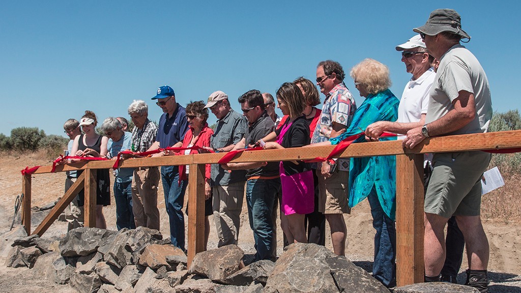
Update June 2017: The Candy Mountain Trail was officially opened on June 2nd, 2017. Enjoy the 1.7 mile gravel surface trail with moderate slope from the parking lot to the summit of Candy Mountain.
Update May 2017: The contractor has finished construction of the parking lot and the trail is open. We’re planning an official opening ceremony June 2nd.
Update April 2017: Benton County has contracted out the construction of the parking lot and completion is expected around the beginning of the month of May.
Update 12/04: Trail work was completed.
Update 11/27: The trail work team has continued making great progress. About 40% of the trail has been of the trail is complete with gravel. So far our team has used 5 truckloads of gravel with 4 more expected to arrive on Monday. The excavator team dug out the 1000 feet of rerouted trail and Sunday’s team cleaned up 800 feet of trail near the base of the mountain.
Update 11/21: The trail work team continued making progress toward completing the new trail. Graveling began on Thursday and the team has spread two truckloads of gravel, completing 1500 feet of trail. The pace is slowing as each load has further to go. There’s 1600 more feet to go to reach the summit. The Chinook Bicycle Club also returned on Sunday to complete the improvements to the switchback corners.
Update 11/14: The trail work team made great progress this last week getting another 2000 feet of trail ready for gravel. The Chinook Bicycle Club also helped complete a tremendous amount of work on the last two switchback corners on Sunday. There’s about 1700 feet of pre-dug trail left to prepare for gravel, plus 1000 feet of trail to be relocated. If we can get some large sized work crews over the next few weeks, we have a chance of completing the trail before the winter weather stops us.
Update 11/07: The excavator team finished their work on Friday, November 4th, with the entire trail, except a short section, now dug. The trail work team has continued to make progress, clearing about 1200 feet of trail for gravel.
Update 11/01: The excavator team has continued making great progress on the rough digging for the new trail on Candy Mountain. They have just reached the summit and will now come back down the trail, finishing sections we originally skipped. The trail work team has cleaned, smoothed, and prepared for gravel about .6 miles of trail (about 35% of the trail’s complete length).
Update 10/27: The excavator team has made great progress digging out the new trail. Over the weekend they blazed through a stretch of soft rock-free dirt. We now have about 2200 feet left to go to get to the summit.
Update 10/22: The excavator operators have completed about a 1/2 mile of the 1 3/4 mile long trail. Work has slowed due to a number of large rocks in the way (click to view) . The hand work team is not far behind.
Update 10/17: The work on the new 1 3/4 mile Candy Mountain summit trail started last week and we only lost one day, Friday, due to the weather. The excavator operators have completed the first 1/3 mile and the hand work has cleaned up about half of that.


